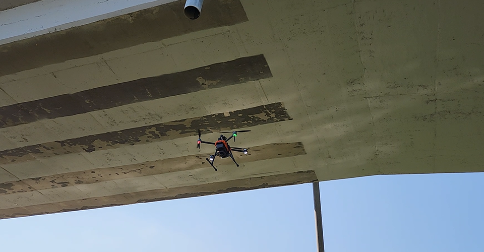
A drone designed for stable flight in GPS-shaded areas, allowing for effective data acquisition in tasks such as bridge and viaduct inspections or building exterior inspections.
Flight in GPS-Shaded Areas
Through stereo vision, the drone can determine its position, enabling seamless flight even in GPS-shaded areas.
Maximum Flight Time
55 minutes
NO GPS
Flight in GPS-Shaded Areas
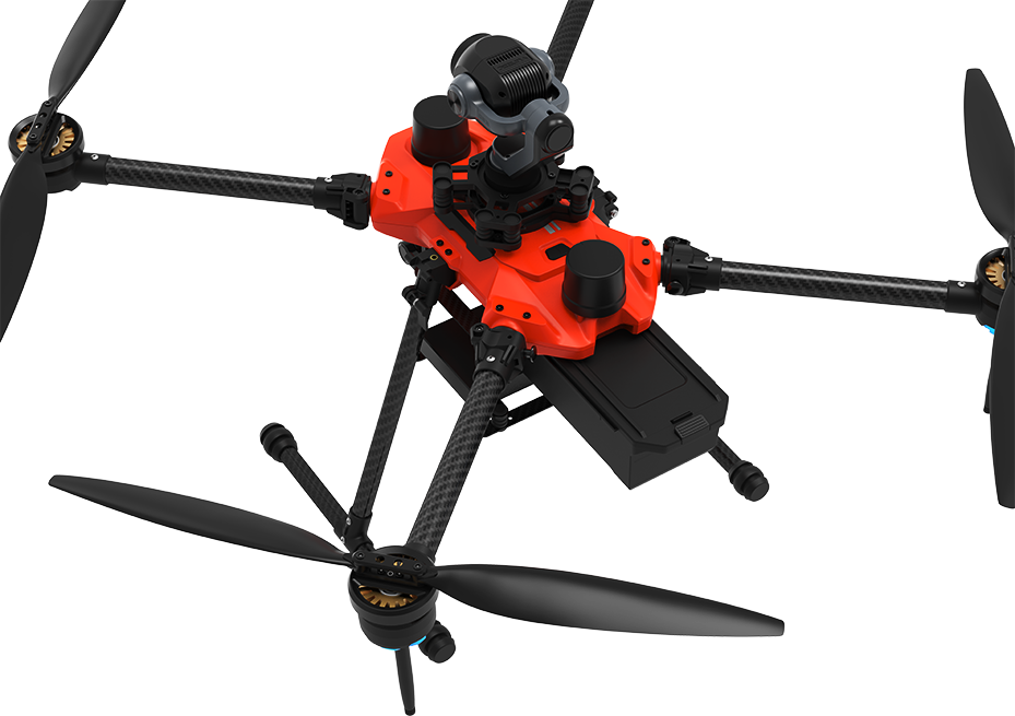
Exclusive Camera Mounting for HUMMER
Equipped with a gimbal camera on the top of the drone, facilitating inspections of exteriors, undersides of viaducts, and more.
Quick Setup, Long Flight
With long flight times and easy battery replacement,
it provides an extended operational time compared to short preparation times.
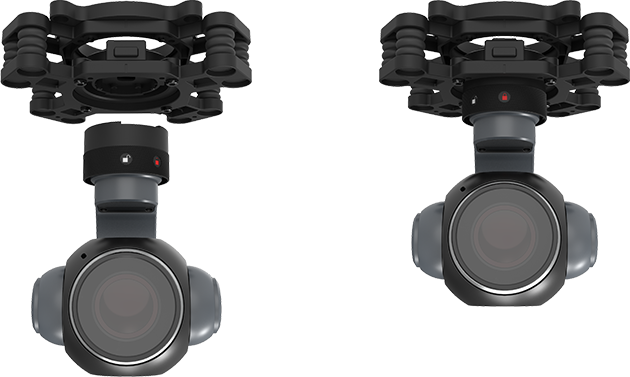
Quick Replacement
Featuring an easy-to-use quick-release system,
supporting a variety of options from FHD to 4K EO/IR cameras,
allowing for swift camera replacement.