SOLUTION

Construction site monitoring and mapping

automatic scheduled patrols and real-time monitoring to prepare for accidents or emergencies on-site
In large construction sites, stations and automatic patrol drones are deployed to monitor the site automatically through scheduled patrols without the need for actual human presence. Remote control of drones and stations, as well as site management, are conducted remotely. The system enables automatic scheduled patrols and real-time monitoring to prepare for accidents or emergencies on-site. Drones perform mapping operations and capture photos at each flight location, providing visual documentation of the construction progress and status.

Pain Points

Accurate Monitoring and Data Collection

Monitoring on large construction sites can involve complex tasks. Thoroughly inspecting and documenting every area can take a considerable amount of time. As a result, work efficiency may decrease, and the progress of the construction may be delayed.

Difficulty in Management

In large construction projects, efficient management is necessary as multiple aspects proceed concurrently. Monitoring the site manually can be challenging to quickly grasp various aspects simultaneously.

Lack of Accuracy

Performing mapping manually can result in errors and omissions, leading to a decrease in the accuracy of mapping data. Especially in large-scale sites, accurately recording detailed information can be challenging.

Recommended ARGOSDYNE Products

Camera Accssories

SHARE 6100X

Through TIMESYNC 2.0 technology, microsecond synchronization between the camera, gimbal, flight control, and RTK enables GCP-Free operation. The product enhances flight stability with automatically adjusted 1080P HD dynamic streaming based on the video transmission distance.
Camera Accssories

GEOCUE TrueView 535

Whether collected from aerial or ground sources, 3D point clouds have become crucial in mapping. Utilizing the advanced LIDAR software package LP360 allows for the easy extraction of information and the generation of results within an intuitive GIS environment.

Business Value

Fast Monitoring and Collection

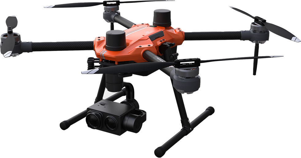
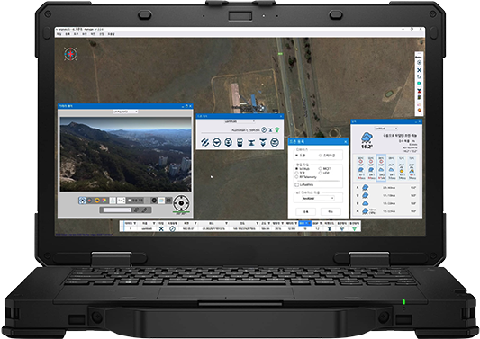
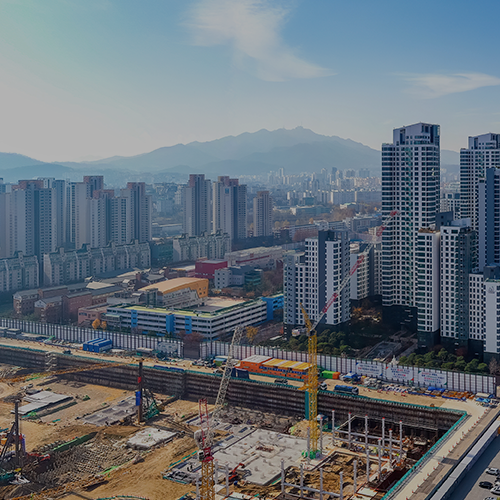
It can quickly and accurately survey and monitor the entire facility from high altitudes. Additionally, it can be integrated with the disaster management center screen, enabling real-time monitoring and immediate response for initial firefighting in the event of a fire.

Automated Features and Path Planning

It can be operated safely in dangerous or hard-to-reach areas. Utilizing drones in hazardous areas such as high-voltage lines and chemical processing plants enables safer monitoring. Moreover, it allows surveillance in areas that are inaccessible for monitoring through CCTV within the facility.

Real-time Communication

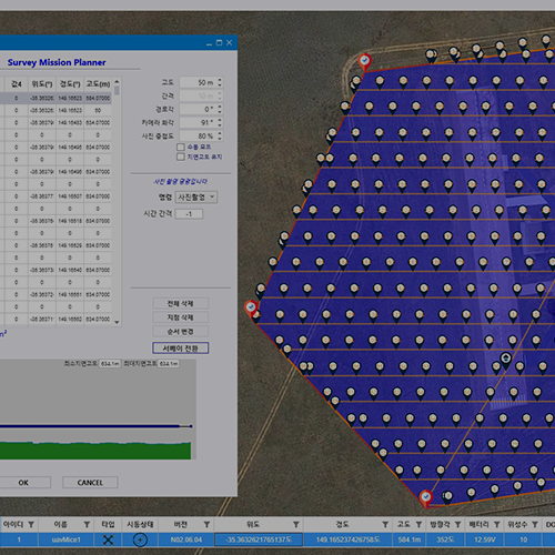
It can transmit data in real-time, allowing for a prompt response to on-site situations.

개인정보처리방침
Purpose of collection and use of personal information
– Collection items: name, contact information, email
-Purpose of use: Used for answering consultation contents, marketing related to consultation, and notice of information guidance
 
Retention period
– Reason for retention: Retention of information through member consent
– Retention period: Until member information is requested to be deleted