Based on the AQUILA-3F, a more powerful motor and folding arm have been applied to enhance flight and storage/transportation efficiency.
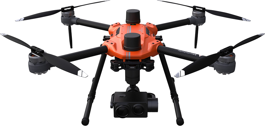
Small drone with outstanding performance in various environments
AQUILA-3F is equipped with waterproof and wind-resistant features,
ensuring stability and long flight times, allowing operation in various environments.
Despite its small size, it can effectively handle multipurpose missions with excellent performance.
Maximum takeoff weight
5.8kg
Wind resistance
15m/s
Waterproof Rating
IP53
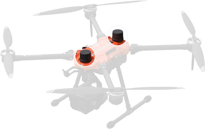
Stability
Designed to provide robust thrust despite low power, allowing for extended flight durations. Equipped with dual GPS modules, it delivers precise location information even without an RTK system. This implies enhanced stability during flights in electromagnetic environments such as power transmission towers.
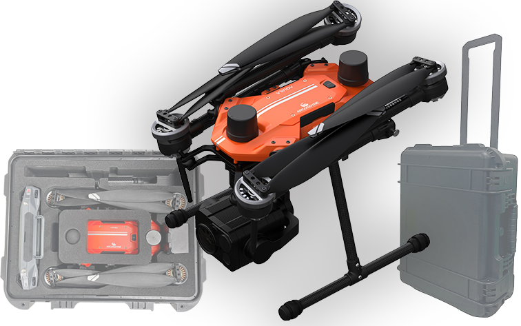
Storage Efficiency
By applying a folding arm, the four motor arms can be folded for efficient storage.
Additionally, the sponge storage case + hard case carrier configuration allows for convenient and efficient movement.
Long-Duration Flight
With powerful thrust and efficient power consumption, Aquila-3F ensures extended flight times.
It integrates dual GPS modules to receive signals from multiple satellite systems for accurate position determination,
even in electromagnetic environments.
Maximum flight time
76minutes
Enhanced Flight Stability with
Dual GPS Support
The Most Convenient Way for Users, Customization
Because all components, including software, are designed and developed in-house,
customized development is possible to meet specific customer requirements.
The basic equipment includes various cameras, searchlights, and speaker systems
for mission equipment attachment
Maximum 3kg
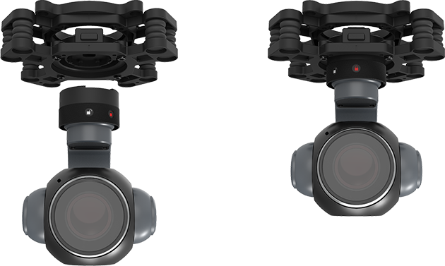
Quick Replacement
Featuring an easy-to-use quick-release system,
supporting a variety of options from FHD to 4K EO/IR cameras, allowing for swift camera replacement.
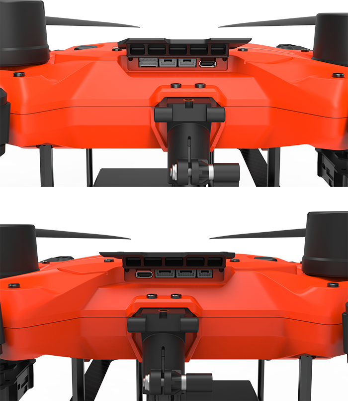
Simple External I/O Ports
External I/O ports are provided to facilitate easy connection of payloads.
Easy Mapping
It can be integrated with RTK systems, and with excellent flight time,
it can accurately perform mapping operations over large areas.
This enhances productivity across the entire operation with short task durations.
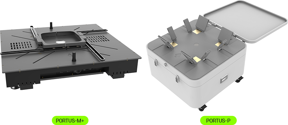
Integration with the Station(Optional)
Compatible with Drone Stations,
allowing for autonomous continuous mission flights.
The Drone Station automatically charges the drone’s battery,
enabling automated and uninterrupted mission execution.